


toa55 / Depositphotos.com
TORONTO — A new national wildfire risk study suggests Fort McMurray remains among Canada’s most vulnerable communities to wildfire despite forecasts calling for less severe fire weather than many Prairie cities this year.
The report, released by insurance comparison website MyChoice, analyzed wildfire risk across Canadian communities using Natural Resources Canada’s upgraded Canadian Wildland Fire Information System Seasonal Forecast 2.0, along with historical wildfire activity, forest proximity, housing exposure, evacuation challenges and wildfire suppression accessibility.
Kelowna, B.C., ranked as the country’s highest overall wildfire-risk city for 2026 with a score of 6.8 out of 10.
The study found Prairie communities are expected to experience some of Canada’s most severe wildfire weather conditions this summer. Regina recorded the highest forecast fire weather severity score at 9.8 out of 10, followed by Winnipeg at 9.6. Medicine Hat, Brooks, Lethbridge and Saskatoon also ranked among the highest for projected drought, heat and grassfire conditions.
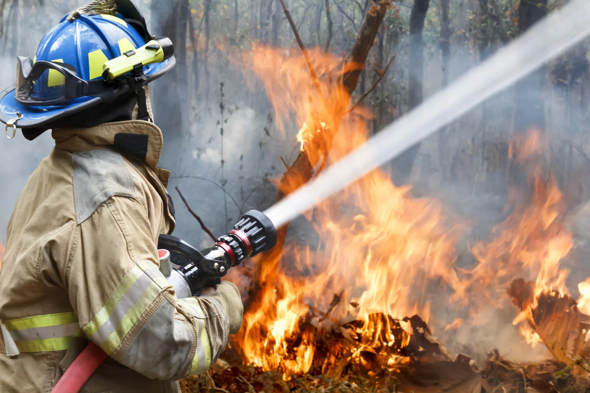
Researchers identified Fort McMurray, Kamloops, Canmore and Banff as some of Canada’s most structurally exposed communities because of their proximity to forests, evacuation challenges and concentration of homes located within the wildland-urban interface.
Fort McMurray was highlighted as one of the study’s strongest examples of the difference between forecast fire weather and long-term community exposure.
While climate models used in the report project relatively low wildfire weather severity for Fort McMurray during the 2026 season, the community still ranked among the country’s higher-risk locations because of its history of major wildfire losses and the large number of homes and infrastructure located near forested areas.
The report found two distinct wildfire patterns emerging across Canada.
Researchers say Prairie communities face elevated short-term risk from forecast weather conditions this season, while many communities in British Columbia and Alberta continue to rank highly because of long-term exposure linked to development near forests and other wildfire-prone landscapes.
Victoria was forecast to experience the highest number of extreme fire weather days during its peak wildfire season, with 11 projected extreme days, followed by Vancouver at 10.5.
In Ontario, Kenora ranked as the province’s highest wildfire-risk community, followed by Timmins, Sudbury, Gravenhurst and Sault Ste. Marie.
MyChoice chief executive officer Aren Mirzaian said wildfire risk is increasingly influenced by where communities are built and how development occurs in relation to surrounding forests.
The study notes communities may face significant wildfire risk even during years with relatively moderate fire weather conditions if homes, infrastructure and evacuation routes are located within forest-adjacent areas.
The analysis incorporates wildfire forecasts, historical fire activity, forest fuel conditions, development patterns, housing exposure and accessibility for wildfire response efforts.

Comments