


Permanent Flood Mitigation, RMWB Web image
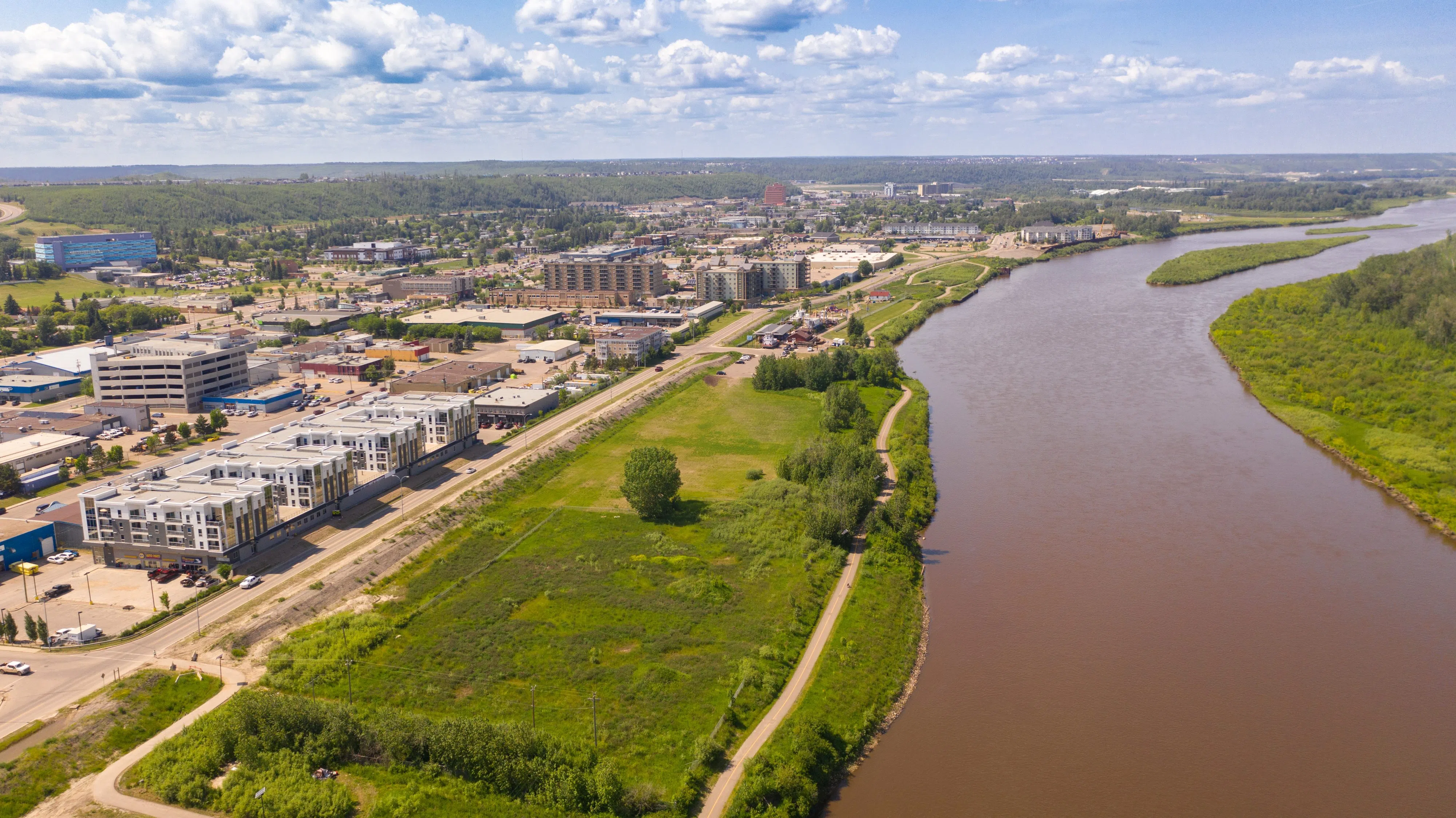
FORT McMURRAY — With more than half a dozen rivers crossing Fort McMurray and hundreds of waterways spread across the Regional Municipality of Wood Buffalo, residents now have access to expanding flood mapping tools as Alberta continues a provincewide effort to better identify flood risks.
The provincial government announced new flood mapping studies this spring covering about 260 kilometres of waterways in 10 Alberta communities, adding to nearly 600 kilometres of flood mapping work already underway.
The latest studies are part of a broader flood preparedness initiative that has accelerated significantly in recent years.
Since 2020, Alberta has completed about 1,900 kilometres of new or updated flood mapping for 70 municipalities and five First Nations, a total the province says exceeds the amount completed during the previous 35 years combined.
Environment and Protected Areas Minister Grant Hunter said flood mapping plays a critical role in protecting Albertans from the impacts of flooding and helps communities make informed decisions about development, emergency planning and flood mitigation.
Flood maps identify areas vulnerable to flooding during periods of high river flow, including spring runoff and major rainstorms. The information is used by municipalities to determine where development can safely occur, what infrastructure may be at risk and which roads could become inaccessible during flood events.
The mapping is also used to support applications and planning under Alberta’s Drought and Flood Protection Program.
The Rural Municipalities of Alberta said accurate flood mapping data helps local governments better understand risks when planning future development and emergency response capacity.
The province said approximately 330 kilometres of flood mapping covering 13 communities will be released for public engagement in June, while another 250 kilometres of mapping is entering the review stage with local authorities.
Final versions of those maps are expected to be completed between late 2026 and spring 2027.
Flood mapping products are publicly available through Alberta’s online Flood Awareness Map Application, allowing residents to view flood hazards in communities across the province.
The province has budgeted approximately $2.76 million for flood mapping work in 2026-27 and a further $1.29 million in 2027-28. Those contributions are matched by the federal government through a cost-sharing agreement.
For communities such as Fort McMurray, where the 2020 ice-jam flood along the Athabasca River caused widespread damage and forced thousands from their homes, officials say understanding flood risks remains an important part of long-term emergency preparedness.

Comments