


The out-of-control wildfire burning southwest of Fort McMurray has been resized at 19,582 hectares. The closest points of the fire remain 4.5 kilometres away from the intersection of Highways 63 and 881 and 5.5 kilometres away from the landfill.
Wildfire growth was minimal yesterday, and activity was low. 10 millimetres of rain fell on the fire last night, and more rain is forecasted for Friday, Saturday, and Sunday. Up to 80 millimetres of rain is in the forecast for that time.
Crews might still be working on a containment line on Friday, depending on whether helicopters will be able to fly. Because there is no road access to the fire, crews have to be flown in by helicopter to the fire line. Night vision helicopters could not fly last night due to weather conditions.
224 firefighters, 22 helicopters, and 57 pieces of heavy equipment are currently assigned to this fire.
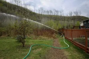
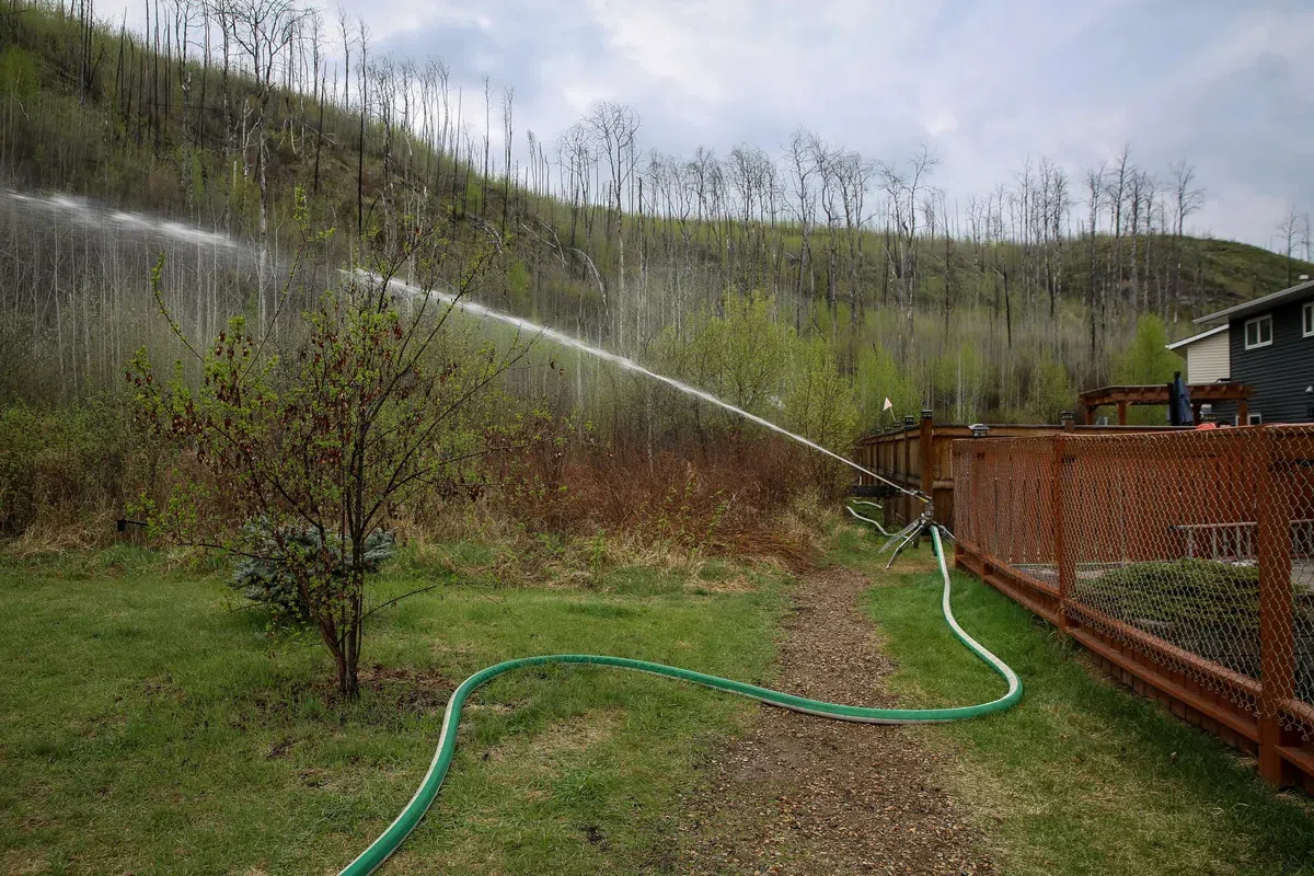
Structure protection is complete in Beacon Hill, Abasand, and Prairie Creek neighbourhoods. Structure protection is also complete on the Rickards Landing Industrial Park, Gregoire Lake Estates, and Gregoire Lake 176. Thanks to a good amount of rain in the area over the last 48 hours, the wildfire risk in a good chunk of the Fort McMurray Forest area is now considered low.
It is still considered very high north of Lake Athabasca, where it did not rain.
Evacuation orders are still in effect for Prairie Creek, Beacon Hill, Abasand, and Grayling Terrace neighbourhoods, while evacuation alerts remain in place for the rest of Fort McMurray, Saprae Creek, Gregoire Lake Estates, Fort McMurray First Nation, and Anzac.
Fire bans are still in place, and a restriction on Off-Highway Vehicles is still in effect.
